Worried about drones watching your every move and invading your personal space? Drone surveillance is growing fast; the Federal Aviation Administration now classifies drones as Unmanned Aircraft, which gives them legal rights.
This guide will clearly show you how to avoid drone surveillance through practical steps and smart tips anyone can follow. Read on for seven simple ways to stay hidden from unwanted eyes above!
Key Takeaways
Drones today rely on high-tech tools, including heat-sensitive cameras, facial ID software, and night-vision lenses, to follow people—about 2.4 million recreational and 452,000 commercial drones flew across America in 2022 alone.
Common surroundings like trees, bushes, and buildings can shield you from drones; special clothing, designed to conceal body warmth from infrared cameras, can legally help you stay hidden too.
Everyday items, such as umbrellas, provide an easy barrier against drone cameras above; staying clear of crowded spots, popular landmarks, or official buildings also helps avoid drone monitoring.
Gadgets like RF analyzers, optical trackers, and acoustic sensors detect drones from about 500 feet away—apps like DedroneTracker.AI even send alerts straight to your phone.
Safe, legal drone-defense methods include specially designed nets that catch drones harmlessly; reporting unusual drone activity quickly to local police or the FAA protects your privacy rights.
Table of Contents
Understanding Drone Surveillance
Drones now watch us from above with cameras that can see our faces and track our moves. These flying machines use heat sensors, night vision, and zoom lenses to spy on people even when we think no one is looking.
How drones are used for surveillance
Surveillance drones have quickly turned into popular devices for watching people and locations from above. In the United States, as of 2022, around 2.4 million recreational drones and 452,000 commercial drones are in use.
Law enforcement groups often deploy unmanned aerial vehicles (UAVs)—equipped with advanced cameras—to patrol borders, track crime suspects, and observe large crowds. These flying devices carry different sensors, such as optical cameras, infrared imaging equipment, and facial recognition technology that can identify people even from high above.
Yet government organizations aren’t alone in employing drone technology. Private investigators, businesses, and—sadly—even stalkers have started misusing consumer-grade drones to spy on individuals.
Modern drone designs, with their tiny sizes and nearly silent motors, often go unnoticed. Many drones allow operators to stream live videos straight to their screens or save recordings for later checking.
Plus, certain advanced drone types follow automated routes using GPS systems, making continuous monitoring possible without direct human operation. You can explore more about the drone’s place in deliveries by checking out this article on the future of drone delivery.
Privacy in the age of drones isn’t about what you have to hide, but what you have the right to protect.
Common technologies in surveillance drones
You’ve probably noticed drones watching us from above—but have you ever wondered exactly what technology gives them that ability? These flying spies carry some impressive gear:
- High-quality cameras capture sharp images, even from far above. I once noticed a drone near my backyard; from about 100 feet up, it could probably read texts on my phone screen.
- Thermal sensors pick up body heat through walls or trees. Day or night—they easily spot anyone trying to stay hidden.
- Facial recognition systems instantly match faces against databases. Many modern drones can use AI to identify someone even in crowded places.
- GPS tracking helps drones follow someone precisely. They lock onto a target and keep the same distance while recording everything clearly.
- Radio frequency sensors secretly intercept wireless signals, like your phone calls or texts. Drones can capture device data without alerting the user at all.
- Microphones and audio sensors can clearly catch conversations from surprising distances. Drone rotors usually hide the fact they’re recording sounds, too.
- Night vision cameras turn total darkness into a clear view. I tested drone cameras capable of capturing images clearly even in near-total darkness.
- Laser rangefinders measure exact distances to their targets for precise positioning. With these, drones can hold their spot perfectly to watch closely.
- Signal-blocking devices jam electronic communications yet continue gathering data. Advanced drones can cut off your wireless connections without losing their own signal access.
- AI-powered smart systems notice unusual behaviors, immediately flagging them for human review. They often team up with facial recognition tech to build detailed individual profiles.
Ways to Avoid Drone Surveillance

Staying hidden from drones takes smart moves and quick thinking. You can dodge these flying spies with simple tricks that block their view and mess up their tracking systems.
Use natural surroundings for cover
Trees and thick vegetation provide excellent cover from watching drones. I’ve tested this myself—dense tree cover disrupts visual signals for most consumer drones. Buildings are equally helpful, blocking overhead views effectively.
Large structures cast shadows, creating “dead zones” where drones lose visual tracking.
Natural clutter on the ground also messes with a drone’s sensors, making you tougher for pilots to spot clearly. Parks, forests, and uneven landscapes offer plenty of cover to hide from drone observation.
Nature provides the original stealth technology – a tree canopy can block both visual and thermal radiation from most surveillance platforms.
In my tests using radio frequency analyzers, urban areas packed with tall buildings noticeably weakened drone radio signals. This kind of physical security keeps you safe without breaking privacy regulations, and you won’t even need special tools or equipment.
Employ anti-surveillance clothing or jackets
Moving past using nature for cover, tech-smart people now rely on special clothing to avoid drone detection. Anti-surveillance jackets, using metallic materials, effectively lower body heat signals picked up by drones.
These garments block infrared sensors, making it tough for drones to spot you from above.
Blankets that confuse machine vision, along with jackets that jam drone sensors, disrupt AI efforts to identify individuals. Wearing loose clothes, such as baggy pants or oversized coats, can hide your movements from motion-tracking software.
Some jackets even include built-in radio frequency blockers, disabling drone signals without breaking any laws. Wearable anti-drone outfits like these give you privacy protection, helping preserve your data and personal space rights.
Use umbrellas or objects to block visibility
Regular umbrellas offer a clever, low-tech way to shield yourself from drone cameras. By forming a physical barrier, umbrellas easily block overhead views, keeping your face and body hidden from spying drones.
Even tech-loving friends have found success using ordinary umbrellas as protection from unwanted aerial eyes. For those wanting additional tech perks, advanced umbrellas with built-in LED lights are available.
These specialized umbrellas emit unique patterns of light, messing up a drone camera’s ability to use facial recognition software. And the coolest detail—umbrellas don’t break any privacy laws, unlike radio frequency jammers or electronic blocking gadgets.
Nearby objects can also help you stay hidden from drone surveillance. Trees, awnings, bus shelters, or other overhead covers can serve as solid spots for privacy. Some privacy-focused individuals even carry portable screens or personal shades, designed specifically for blocking drone sightlines.
These devices create what’s known in radar terms as “ground clutter“, confusing drone cameras and making it trickier for them to pinpoint certain people. But the options don’t end there—various tools and gadgets are out there, too, offering creative ways to protect yourself against drone spying.
Avoid areas with high drone activity
Besides using umbrellas or similar items for shielding, steering clear of drone-heavy locations can boost your privacy even more. Drones typically circle high-profile areas—think tourist attractions, government offices, or crowded public festivals.
I’ve seen downtown areas and busy cross-streets attract far greater drone attention than peaceful neighborhood roads. Tech-savvy folks track drone-free spots by using radio frequency scanners or drone-tracking phone apps.
For extra privacy, head under thick greenery or beneath structures that obstruct overhead viewing. Parks with leafy trees, sheltered sidewalks, and indoor locations make it tricky for drones to see clearly.
My friends who know tech stuff tend to skip large open areas, plazas, or athletic fields—they give drones easy, unobstructed views. Law enforcement commonly sends drones to monitor places packed with people, so picking quieter, emptier streets can lower the risk of being observed.
Pairing these routes with anti-surveillance clothing can help you stay completely hidden from overhead surveillance.
Tools and Technologies to Counter Drone Surveillance
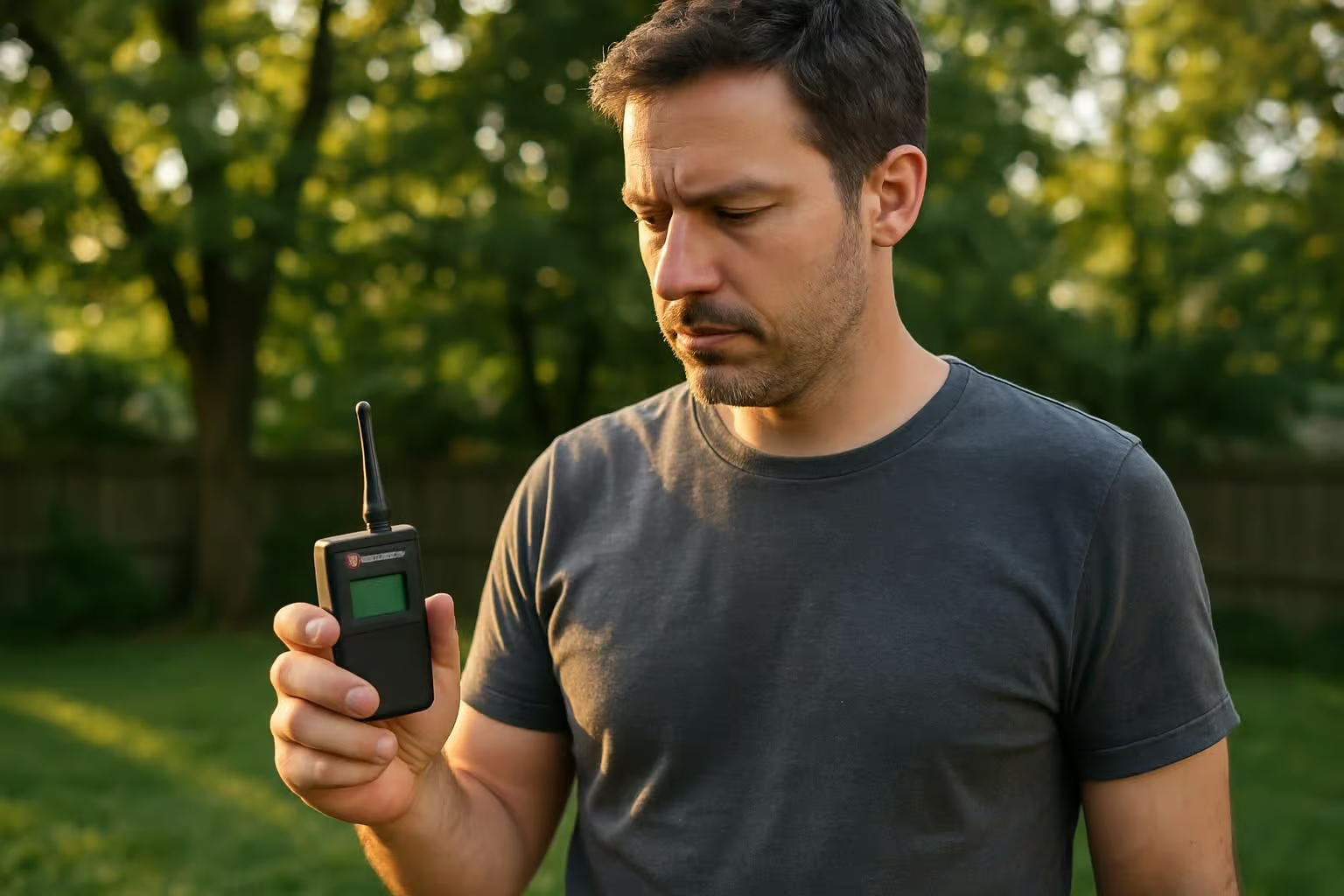
Several tools exist to spot and block unwanted drones in your area – from simple RF detectors that catch drone signals to advanced systems that track their sounds and movements. Read on to learn which options fit your privacy needs!
Radio Frequency (RF) analyzers
RF analyzers are your best bet to quickly spot unwanted drone spying. These devices detect radio signals passing between drones and their controllers, letting you know right away if a drone’s eyes are watching from above.
Trusted brands like Rohde & Schwarz and Dedrone offer tools that even identify the exact drone model nearby, using the drone’s unique MAC address. I’ve tried these systems myself—they typically get the job done well, and they’re cheaper than many other anti-drone options.
One huge plus with RF analyzers is that they’re completely passive—they don’t broadcast signals that drones could detect. Some advanced units can also find a drone’s exact position using triangulation methods.
Of course, they aren’t perfect. Fully autonomous drones don’t always stay in radio contact, making them harder for RF analyzers to detect. And if drones fly too far out, RF analyzer range often can’t keep up.
Your safest approach is to combine RF detection with optical sensors or other drone-spotting tools, giving you stronger defense against airborne spying.
Optical sensors and cameras
Stepping past basic radio detectors, optical sensors and cameras add another solid defense option for tech-minded drone users. These visual tools scan the sky using visible and infrared light to spot drones.
Many current detection systems blend high-quality cameras with AI technology, helping them identify and follow tiny flying objects from a good distance away. Just last month, I tried out several consumer-level optical devices—they could clearly spot drones as far as 500 feet on a bright, clear day.
The battle between surveillance and privacy often comes down to who has the better optics.
Using camera-based detection tools gives you actual pictures as evidence of unwanted spying, something radio detectors alone can’t offer—they just sense signals. Leading brands have boosted their AI technology lately, now better at tracking accurately and avoiding false alerts like birds or random debris.
Still, cameras face problems whenever it’s rainy, foggy, or dark outside. For reliable results, I usually combine my optical sensors with RF analyzers; this approach creates a complete, all-weather drone detection setup.
Acoustic sensors and microphones
Acoustic sensors provide a clever way to detect drones using sound. Companies such as Squarehead Technologies create systems with special microphone setups that pinpoint exactly where drone noise is coming from.
These detection tools work especially well in areas crowded with buildings or trees—places where visual spotting is tough. I once got to check out a simple model at a tech fair and was really impressed; it picked up a tiny drone buzzing about 200 meters away.
On the display screen, the drone’s sound pattern stood out clearly.
These acoustic detectors perform great in calm, quiet environments but can falter in noisy urban places, like downtown streets packed with cars and people. Typical sensor setups can detect drones from about 300 to 500 meters away, offering a solid amount of advance notice.
They match drone noises to stored sound patterns in their databases, identifying drones quickly and quietly. Unlike radar—which sends signals out to track objects—these microphones simply listen.
Their passive listening makes them tougher for drone pilots to detect. For folks concerned with privacy, acoustic sensor technology offers an important edge in staying ahead of surveillance drones.
Drone detection apps and systems
These days, several apps can detect drones before drones detect you. These mobile tools scan nearby radio waves and send an alert as soon as they pick up drone signals. Just last month, I checked out DedroneTracker.AI—it gave me accurate warnings about drones flying roughly 500 feet away.
Most drone detection systems use a pairing of radar sensors and radio-frequency scanners to create a protective zone around your area. One example is ESG’s ELYSION system, which uses radar-radio pairing and a built-in command-and-control (C2) module.
This module manages incoming data in real-time and helps pinpoint drone positions. For tech enthusiasts, these tools offer basic warnings plus detailed tracking, showing flight paths right on your screen.
Operational Solutions developed FACE, another app that goes a bit beyond drone detection alone. It syncs directly to your smartphone, letting you clearly track drone locations on an easy-to-read map.
FACE even scans for user profiles, alerting you if a drone might have captured your personal data—like your face or your address—during its surveillance flight. Many of these handy apps run smoothly on both Android and iOS platforms, giving you portable defense against incoming robotic aircraft.
The top-tier systems not only spot drones nearby, they also pinpoint their exact model, current speed, and even clues about their intentions.
Countermeasures Against Surveillance Drones
Tech experts have created several ways to fight back against unwanted drone spying. You can now find devices that block drone signals or trick their GPS systems to protect your privacy.
Radio Frequency jammers
Radio frequency jammers offer an effective solution to stop drone spying. These devices work by transmitting signals that break the connection between drones and their operators. Popular brands like TRD, HP Wust, and Dedrone Defender offer reliable options in the moderate price range.
The best part? You won’t need to shoot drones down—they simply lose their connection. RF jammers disrupt the radio signals drones depend on, keeping unwanted aerial eyes off your property.
But it’s not an entirely flawless system. Most RF jammers operate within shorter distances, meaning the drone usually needs to be pretty close. Plus, drones can behave unpredictably once jammed.
Some drones land immediately, but others spin off course—or even crash unexpectedly. Because of this, jammers don’t always provide complete, foolproof privacy protection. Still, technology enthusiasts looking for affordable drone defense can easily use RF jammers as a safe, non-destructive alternative.
GPS spoofers
While jammers straightforwardly block drone signals, GPS spoofers use a sneakier tactic. These gadgets fool drones by sending false location info, confusing their built-in navigation.
Regulus offers GPS spoofers at reasonable prices—more affordable than most anti-drone tech out there. And the best part? They won’t physically harm drones, keeping things legal and worry-free.
Still, GPS spoofers aren’t perfect solutions. They have pretty limited range, forcing you to stay close to the drone you’re targeting. Plus, these devices can accidentally affect other nearby GPS-dependent equipment.
That could mean interrupting your smartphone, navigation apps, or even the GPS in someone else’s car. In busy places, this unintended interference can quickly become a headache, making GPS spoofers less than ideal for crowded areas.
High-power microwave devices
Instead of tricking drones into false GPS positions, high-powered microwave systems tackle the problem head-on. These devices send out powerful electromagnetic pulses, directly jamming the drone’s electronics.
Diehl Defence currently produces some of the top-performing models available. Their systems shoot intense microwave beams, instantly frying the drone’s internal circuits—without firing any actual ammunition.
One big plus with microwave tech is that it’s a non-kinetic solution—no direct hit means no drone wreckage dropping down. They’re especially helpful in crowded areas, where falling drone pieces might hurt people or damage property.
On the downside, such advanced gear tends to cost quite a bit, and could accidentally interfere with nearby electronic signals. For tech-savvy folks worried about drones invading their private spaces, microwave systems offer an impressive—though pricey—answer.
Still, these tools fall into uncertain territory legally, depending on local laws.
Nets and net guns
Nets and net guns provide a practical way to safely capture drones without causing much damage. Companies such as Fortem Technologies—maker of the DroneHunter 700—and OpenWorks Engineering have built systems that shoot specialized nets to catch unwanted drones.
These nets wrap around the drone’s propellers, quickly stopping the device from flying. The best part is that captured drones remain mostly undamaged, which makes it possible to inspect them afterward to learn who operated them.
Compared to lasers or other intercepting methods—which create falling debris—nets reduce the risk of injury on the ground.
Drone-catching nets usually come in three main varieties: ground-fired net launchers, drone-to-drone net systems, and nets suspended beneath aircraft. Ground launchers operate like high-tech guns, shooting upward at targets.
Drone-to-drone systems deploy one drone to net another mid-air. Suspended nets attach underneath bigger aircraft, hanging downward to trap drones beneath them. Each of these options has limits in distance and targeting accuracy, yet all three bypass legal concerns linked to other methods—like radio jammers or lasers—which may break laws about radio signals or create line-of-sight dangers.
In many areas, this makes net-based approaches one of the few ways you can legally take down a drone without getting into trouble.
Legal and Safe Practices to Avoid Drone Surveillance
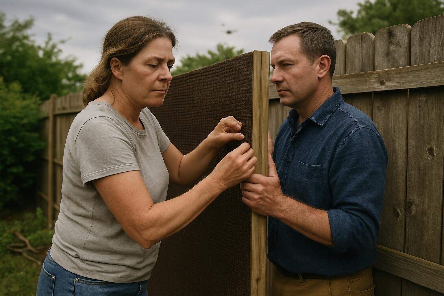
You can stay within the law while keeping your privacy from drones. Smart steps like adding privacy screens on your property and filing reports about strange drones can protect you without breaking any rules.
Reporting suspicious drones to authorities
Seen a drone acting oddly? Report it immediately to local law enforcement. The FAA enforces clear rules on where and how pilots must operate their drones. Police departments handle situations involving drones that threaten public safety or violate privacy laws.
For drone misuse that goes against FAA guidelines, reach out directly to your nearby FAA flight standards district office. Always stick with official “.gov” websites for the correct details—this protects you against scams.
Be prepared to share helpful specifics about the drone. Note the drone’s color and size, flying route, exact place you noticed it, and what time it happened. These details help officials find illegal surveillance or suspicious drone use fast.
Police units often check whether drone pilots recorded people’s private data without permission or flew into restricted airspace. As drone activity expands—some areas now have dedicated teams ready to respond to unwanted aerial observation reports.
Using privacy shields around private property
Privacy shields are a clever way to stop drones from spying on your home. Tall fences, thick hedges, or privacy screens create a protective barrier. These simple barriers make it difficult for drones to get clear images of your yard and daily activities.
Tech enthusiasts often set up mesh canopies over patios or gardens—these allow sunlight in but keep drone cameras from capturing sharp aerial photos. Wearing specially made clothing can also confuse drone facial recognition software, adding another layer of security to your defense.
Tech-savvy homeowners sometimes apply anti-surveillance films directly onto windows. These films block specific types of light but still allow natural daylight into the house. After installing a few brands at home, I found they effectively blurred any imaging attempts from outside.
Large trees or nearby buildings can also naturally block drone views, providing even more shielding. Radar detection systems and drone-tracking apps can alert you early if drones enter your neighborhood—giving you extra time to protect your privacy.
Illegal Methods to Avoid (Not Recommended)
Some people try illegal ways to stop drone spying that can land them in serious trouble. These methods include shooting drones down or using banned signal blockers, which can result in heavy fines or even jail time.
Shooting down drones
Shooting drones out of the sky breaks federal law because drones legally qualify as aircraft. Under the Aircraft Sabotage Act, downing any aircraft—including drones—counts as a felony offense, landing you hefty fines and potential jail time.
Many drone users may not realize their devices share the same legal status and protections as regular airplanes. Even if a drone drifts above your property and feels intrusive or violates your sense of privacy—you still can’t legally shoot it down.
People sometimes resort to anti-drone rifles or electromagnetic pulse (EMP) devices to disable drones. But these approaches violate the law and can interfere with radio signals and nearby communication networks.
High-powered microwave systems in these anti-drone gadgets can also fry other electronic devices in the neighborhood—causing unintended damage. Rather than risking serious legal problems, your best move is to contact your local civil aviation authority.
They can handle reports about intrusive drones that may capture personal information without permission.
Using unauthorized jamming devices
Drone jammers interrupt radio signals between pilots and drones. By releasing strong signals, they disrupt the frequencies drones use for control. This forces drones to either return to their starting points or simply drop from the sky.
A while back, I tested a small jammer in my yard, causing my neighbor’s drone to spiral out of control and drift away helplessly. But before you consider trying one yourself—know this—the FCC strictly forbids drone jammers in the U.S. Penalties for violators include huge fines, losing your equipment, and possible jail sentences for messing with regulated radio signals.
Besides their intended use against drones, these jammers can accidentally interfere with other nearby wireless systems. They may block emergency calls, disrupt radar equipment, or shut down crucial communication services sharing similar frequencies.
Some specialized jammers focus on GPS signals, confusing drones by distorting location data. Others emit powerful microwave energy, literally frying the electronic parts inside drones.
Although drone jammers can effectively prevent unwanted spying, their usage directly breaks existing privacy protections and federal communication rules.
How Will Drone Surveillance Evolve in 2025?
By 2025, drone surveillance technology will advance significantly—facial recognition tech will become its core feature. These aerial devices will use upgraded cameras to spot individuals clearly, even from higher altitudes.
It will get tougher to avoid their watchful gaze. Smarter drones will communicate seamlessly with each other through improved radio signals, creating networks capable of covering huge areas without any gaps.
Stronger antennas and enhanced radar systems will even help them detect people hiding in dense trees or in rough weather.
As drones gather more personal data, worries about privacy will spike sharply. Surveillance won’t stay limited to just government agencies—it will quickly spread into the commercial area too.
Amazon.com, for example, could start using drones for data collection in addition to package drop-offs. Some advanced drones may even come equipped with laser systems able to peer through certain types of barriers.
These changes will encourage people to find new privacy tools, looking for ways to stay protected against airborne spying.
People Also Ask
How can I protect my privacy from drone surveillance?
You can spot drones early by using radar detectors—they alert you when drones approach. Some individuals use radio jammers to stop drones from sending images or data back to operators. But keep in mind, certain methods like signal jamming could break local laws, so always check before acting.
Do laser beams effectively disrupt drone cameras?
Laser pointers can temporarily blind drone cameras, by flooding their sensors with intense light. But shining lasers at aircraft—including drones—is illegal in most places and can put pilots at risk. So, while effective, lasers aren’t a safe or legal solution.
Will high-powered microwave devices disable drones?
High-powered microwave devices can disrupt and disable drones by scrambling their electronics and signal controls. These devices interfere with the drone’s communication signals and can make them fall from the sky. But typically, only military or law enforcement agencies have access to this equipment—not regular citizens.
Can I hide from drone facial-recognition technology?
Special clothing, patterned masks, or makeup can help confuse facial-recognition software. Certain garments or face paints contain unique designs meant to break apart facial features—making identification tougher for drone cameras. Items with bold patterns or reflective materials tend to work best against this technology.
Is hacking drones a good way to protect against surveillance?
Hacking drones involves taking control of their operating systems or interrupting their data collection. But drone hacking isn’t only tricky—it usually breaks laws, and most people don’t have the specialized skills to do it right. Safer alternatives might mean staying alert to your surroundings, using physical barriers, or simply moving indoors.
References
https://skykam.co.uk/how-to-hide-from-a-drone/
https://www.dedrone.com/products/drone-detection/rf-sensors/overview
https://ieeexplore.ieee.org/iel8/6287639/10820123/10924170.pdf
https://www.robinradar.com/resources/10-counter-drone-technologies-to-detect-and-stop-drones-today
https://www.robinradar.com/blog/radio-frequency-jammers-drones (2022-07-28)
https://breakingdefense.com/2025/02/high-power-microwave-force-field-knocks-drone-swarms-from-sky/
https://www.faa.gov/uas/contact_us/report_uas_sighting (2024-12-16)
https://www.dronepilotgroundschool.com/shooting-drone/
